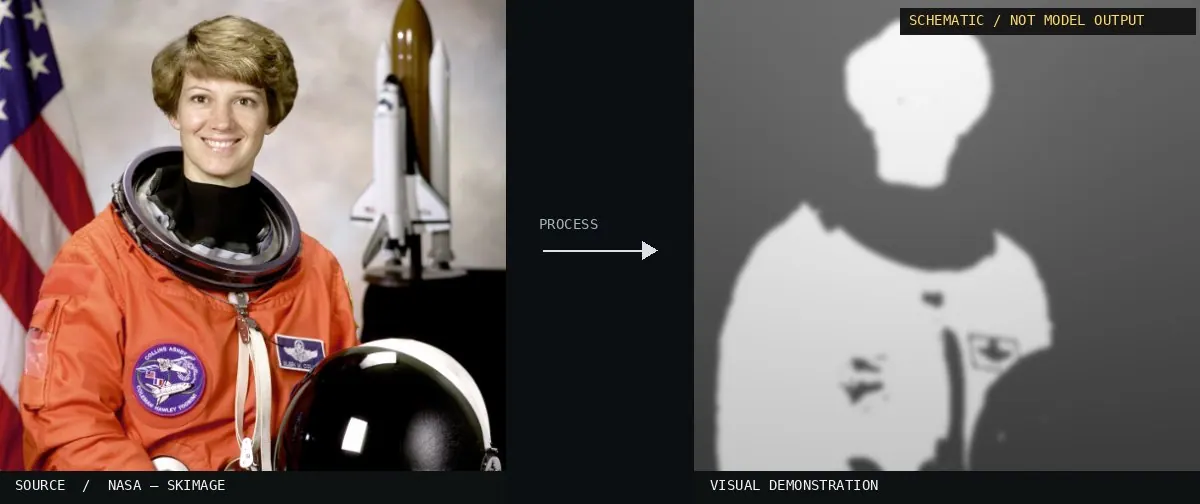
Schematic or classical approach — not a trained AI model output.Image: NASA / Eileen Collins · scikit-image (public domain)View source ↗
Prompt
Transform this image into a Monocular Depth Map, replacing natural colors with smooth grayscale distance fields. Render nearer surfaces lighter and farther surfaces darker, using coherent object silhouettes, gradual tonal changes across receding planes, and crisp depth discontinuities at overlaps rather than lighting shadows. Keep the original subject and composition.
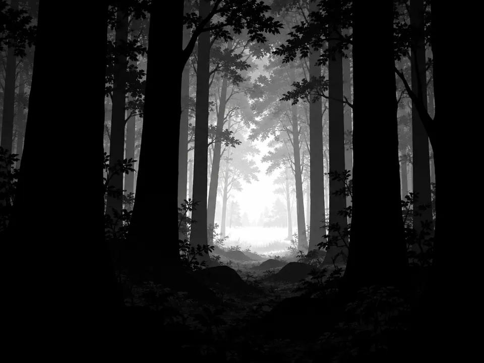
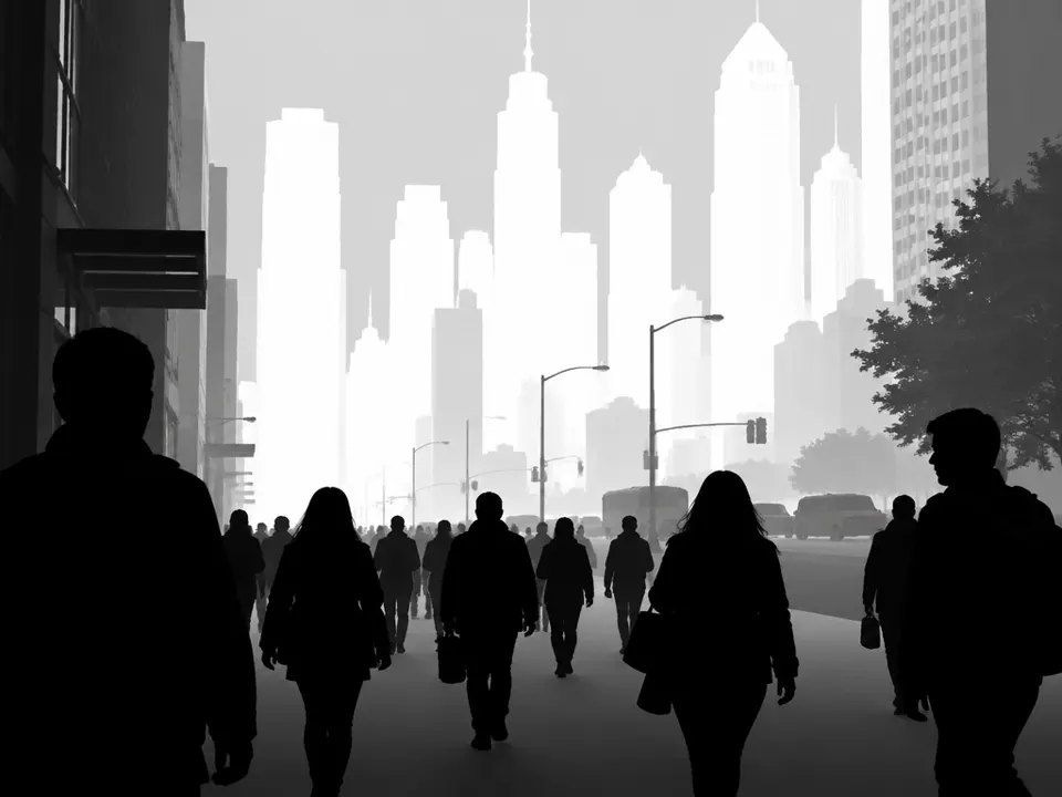
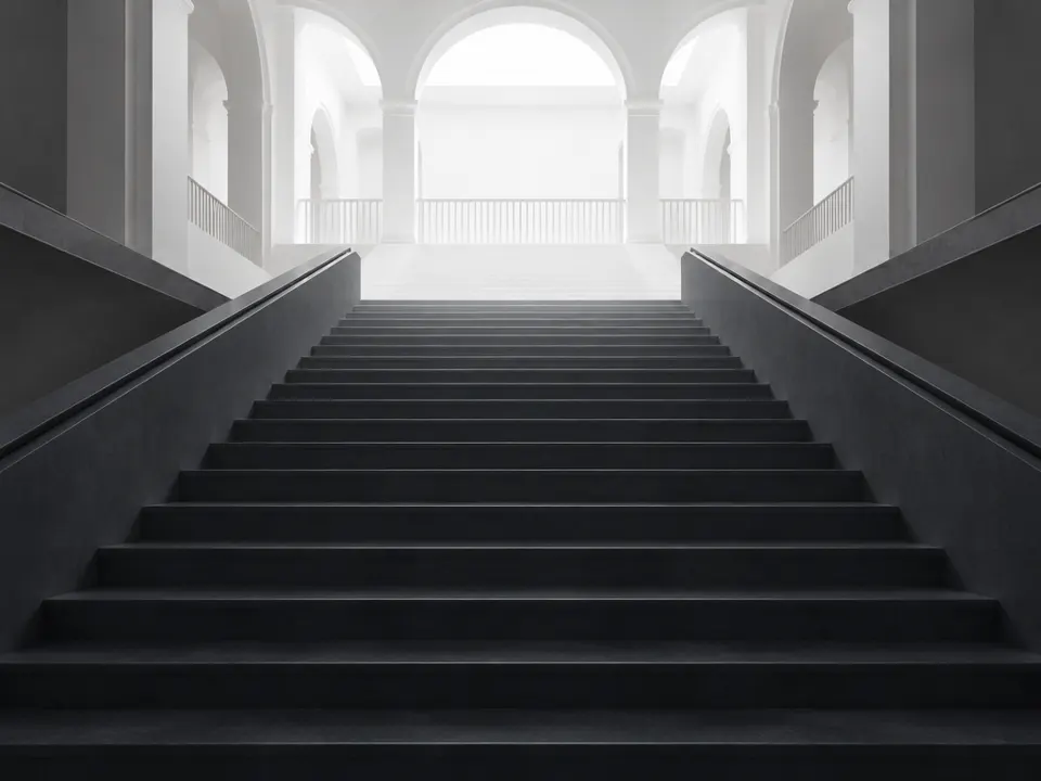
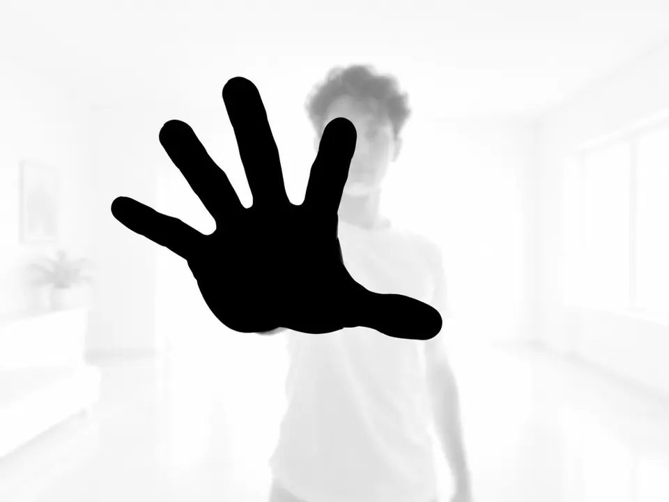
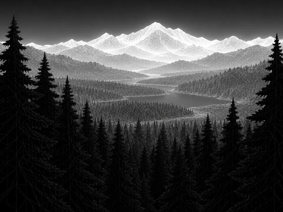
02StixelsThe lower panel displays a grayscale representation of a street scene. It uses luminance to encode spatial distance, where lighter shades represent the foreground and darker shades represent the distant background.User:Tino · MIT · Wikimedia Commons03AI illustration: A forest scene uses grayscale values to map distanceA forest scene uses grayscale values to map distance. Darker foreground silhouettes contrast with lighter, distant trees, effectively illustrating the schematic depth representation.Illustration generated for the Atlas (AI)04AI illustration: Pedestrians and city buildings are rendered in flat grayscale tiersPedestrians and city buildings are rendered in flat grayscale tiers. Dark tones denote proximity while bright white tones represent the far background, creating a clear depth map.Illustration generated for the Atlas (AI)05AI illustration: A staircase and hallway are depicted with a gradient from dark to lightA staircase and hallway are depicted with a gradient from dark to light. The darkening of near steps relative to the bright distant arches maps spatial depth through value.Illustration generated for the Atlas (AI)06AI illustration: A hand in the immediate foreground is black, while the person and room beA hand in the immediate foreground is black, while the person and room behind it are significantly lighter. This stark tonal separation clearly defines the depth planes.Illustration generated for the Atlas (AI)07AI illustration: A mountain landscape uses inverted grayscale to map distanceA mountain landscape uses inverted grayscale to map distance. Foreground trees are black while the distant peaks are white, demonstrating a schematic depth map where light represents greater distance.Illustration generated for the Atlas (AI)